
Fillmore topographic map
Click on the map to display elevation.
About this map
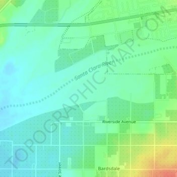
Name: Fillmore topographic map, elevation, terrain.
Location: Fillmore, Ventura County, California, USA (34.38166 -118.94033 34.38599 -118.93287)
Average elevation: 404 ft
Minimum elevation: 358 ft
Maximum elevation: 505 ft