
Ceranesi topographic map
Interactive map
Click on the map to display elevation.
About this map
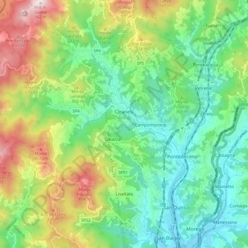
Name: Ceranesi topographic map, elevation, terrain.
Location: Ceranesi, Genoa, Liguria, 16014, Italy (44.47252 8.79276 44.54241 8.89697)
Average elevation: 1,155 ft
Minimum elevation: 167 ft
Maximum elevation: 3,143 ft