Geolocate

Shale topographic map

Click on the map to display elevation.

About this map

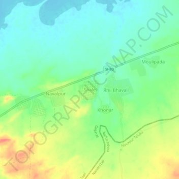
Name: Shale topographic map, elevation, terrain.

Location: Shale, Nizar Taluka, Tapi, Gujarat, India (21.40027 73.95437 21.44027 73.99437)

Average elevation: 384 ft

Minimum elevation: 322 ft

Maximum elevation: 482 ft

Gear up for your next adventure:

🥾Men's Hiking Boots - Durable, waterproof footwear for rugged terrain and steep inclines
🧢Sun Protection Hats - Wide-brimmed and UPF-rated hats for high-altitude sun safety
🦶Carbon Trekking Poles - Reduce knee impact on steep descents with ultra-light poles
🧭Map Reading Tools - Tools and kits for map navigation
👖Convertible Hiking Pants - Versatile zip-off pants for changing altitudes and temperatures

As an Amazon Associate, this site earns from qualifying purchases at no extra cost to you.