Geolocate

Chequitavo topographic map

Click on the map to display elevation.

About this map

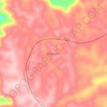
Name: Chequitavo topographic map, elevation, terrain.

Location: Chequitavo, Raymondi, Atalaya, Ucayali, Perú (-10.78331 -74.39071 -10.74331 -74.35071)

Average elevation: 4,098 ft

Minimum elevation: 3,346 ft

Maximum elevation: 4,291 ft

Gear up for your next adventure:

📌Outdoor GPS Map App - Apps and devices for digital topographic navigation
🧭Pro Hiking Compasses - High-accuracy liquid-filled compasses for topographic orientation
🪶Multi‑Purpose Knife - Useful blade for camp and trail
📷Action Cameras - Rugged cameras to document your journeys across rugged terrain
🎒Day Hiking Backpack - Lightweight backpack perfect for day trips and outdoor adventures

As an Amazon Associate, this site earns from qualifying purchases at no extra cost to you.