
Make a donation
Gear up for your next adventure:
As an Amazon Associate, this site earns from qualifying purchases at no extra cost to you.
Volcán Licancabur topographic map
Click on the map to display elevation.
Make a donation
Gear up for your next adventure:
As an Amazon Associate, this site earns from qualifying purchases at no extra cost to you.
Volcán Licancabur
The volcano is in the Puna de Atacama/Cordillera Occidental of the Andes. Politically, it is located in the Antofagasta Region of Chile and the Potosí Department of Bolivia; the border goes over Licancabur. Less than 20 kilometres (12 mi) south is the Llano del Chajnantor Observatory. San Pedro de Atacama is 32 kilometres (20 mi) west of Licancabur while the adjacent region in Bolivia is largely uninhabited. The border crossing Paso de Jama and the Chile Route 27 between Argentina and Chile pass along the southern foot of Licancabur. In 1953, a road led to 4,300 metres (14,000 ft) elevation.
Make a donation
Gear up for your next adventure:
As an Amazon Associate, this site earns from qualifying purchases at no extra cost to you.
About this map
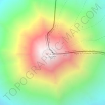
Name: Volcán Licancabur topographic map, elevation, terrain.
Average elevation: 17,339 ft
Minimum elevation: 15,417 ft
Maximum elevation: 19,423 ft
Make a donation
Gear up for your next adventure:
As an Amazon Associate, this site earns from qualifying purchases at no extra cost to you.