
Lélem-Mangwété topographic map
Interactive map
Click on the map to display elevation.
About this map
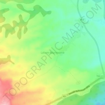
Name: Lélem-Mangwété topographic map, elevation, terrain.
Location: Lélem-Mangwété, Moungo, Littoral, Cameroon (5.12854 9.94558 5.16854 9.98558)
Average elevation: 2,461 ft
Minimum elevation: 2,257 ft
Maximum elevation: 2,759 ft