Geolocate

Haddix topographic map

Click on the map to display elevation.

About this map

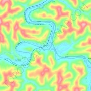
Name: Haddix topographic map, elevation, terrain.

Location: Haddix, Breathitt County, Kentucky, United States (37.46731 -83.36823 37.50731 -83.32823)

Average elevation: 968 ft

Minimum elevation: 722 ft

Maximum elevation: 1,293 ft

Breathitt County trails, hiking, mountain biking, running and outdoor activities

Gear up for your next adventure:

🔋Rechargeable Batteries - Power up your outdoor devices
Camping Coffee Makers - Enjoy premium coffee at the summit or campsite
🧯Portable Fire Pit - Compact fire pit for camping spots
📦Dry Bags Set - Waterproof storage for electronics and clothes
🏫Relief Map Kits - Hands-on tools for teaching landforms and elevation

As an Amazon Associate, this site earns from qualifying purchases at no extra cost to you.