
Topley topographic map
Interactive map
Click on the map to display elevation.
About this map
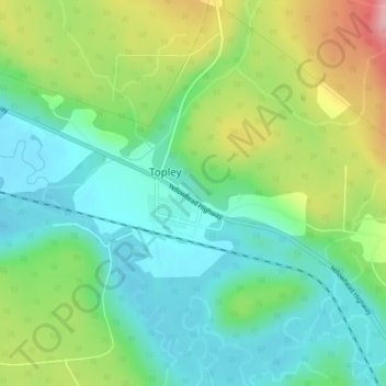
Name: Topley topographic map, elevation, terrain.
Average elevation: 2,333 ft
Minimum elevation: 2,165 ft
Maximum elevation: 2,667 ft
Other topographic maps
Click on a map to view its topography, its elevation and its terrain.
Cobham Lake
Canada > British Columbia > Topley
Cobham Lake, Cesford Hill Road, Topley, Regional District of Bulkley-Nechako, British Columbia, Canada
Average elevation: 3,058 ft