Geolocate

Padgol topographic map

Click on the map to display elevation.

About this map

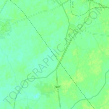
Name: Padgol topographic map, elevation, terrain.

Location: Padgol, Petlad Taluka, Anand, Gujarat, 387375, India (22.56995 72.80864 22.60995 72.84864)

Average elevation: 115 ft

Minimum elevation: 102 ft

Maximum elevation: 128 ft

Gear up for your next adventure:

🧥Waterproof Jacket for Hiking - Breathable and rugged rain jacket for outdoor excursions
📚Navigation Handbooks - Master the art of reading topographic maps and using a compass
🛡️Bear Spray Outdoor - Protection in bear country hikes
🏕️Family Camping Gear - Essentials for group camping trips
🩳Quick‑Dry Hiking Shorts - Comfortable and quick‑dry shorts for summer hiking

As an Amazon Associate, this site earns from qualifying purchases at no extra cost to you.