Geolocate

Olvera topographic map

Click on the map to display elevation.

About this map

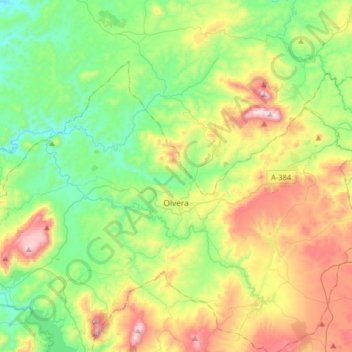
Name: Olvera topographic map, elevation, terrain.

Location: Olvera, Sierra de Cádiz, Cádiz, Andalusia, 11690, Spain (36.86964 -5.41680 37.03736 -5.09569)

Average elevation: 1,703 ft

Minimum elevation: 699 ft

Maximum elevation: 3,665 ft

Other topographic maps

Click on a map to view its topography, its elevation and its terrain.

Sierra Ancha

Spain > Andalusia > Sierra de Cádiz > Bornos

Average elevation: 696 ft

Gear up for your next adventure:

🥩Freeze-Dried Meals - Nutritious and lightweight food for remote expeditions
🪶Multi‑Purpose Knife - Useful blade for camp and trail
🚁Photography Drones - Capture stunning aerial views of landforms and topography
🥘Titanium Cookware - Durable, featherlight pots and pans for backpacking
🧢Sun Protection Hats - Wide-brimmed and UPF-rated hats for high-altitude sun safety

As an Amazon Associate, this site earns from qualifying purchases at no extra cost to you.