
Warri topographic map
Click on the map to display elevation.
About this map
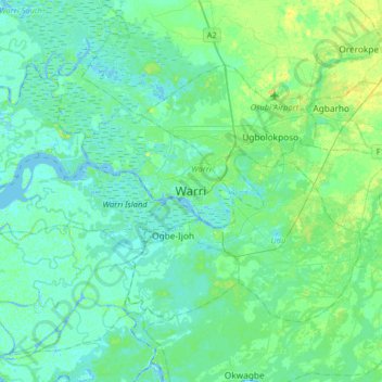
Name: Warri topographic map, elevation, terrain.
Location: Warri, Warri South, Delta State, 332104, Nigeria (5.35862 5.58802 5.67862 5.90802)
Average elevation: 13 ft
Minimum elevation: -13 ft
Maximum elevation: 52 ft