
Make a donation
Gear up for your next adventure:
As an Amazon Associate, this site earns from qualifying purchases at no extra cost to you.
Hohenberg topographic map
Click on the map to display elevation.
Make a donation
Gear up for your next adventure:
As an Amazon Associate, this site earns from qualifying purchases at no extra cost to you.
Hohenberg
Am Fuß des Berges liegt der Rosenberger Teilort Hohenberg. In der St.-Jakobus-Straße beginnt auf Höhe des Alten Pfarrhauses (→ Lage)49.0022110.045112 ein Kreuzweg mit dreizehn Station, der auf den Berggipfel zur Jakobuskirche führt.
Make a donation
Gear up for your next adventure:
As an Amazon Associate, this site earns from qualifying purchases at no extra cost to you.
About this map
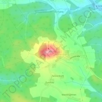
Name: Hohenberg topographic map, elevation, terrain.
Average elevation: 1,608 ft
Minimum elevation: 1,470 ft
Maximum elevation: 1,867 ft
Make a donation
Gear up for your next adventure:
As an Amazon Associate, this site earns from qualifying purchases at no extra cost to you.