
Spitzingsee topographic map
Click on the map to display elevation.
Spitzingsee
Der Spitzingsee liegt etwa fünf Kilometer südlich des Schliersees und wenige hundert Meter südlich des Spitzingsattels auf 1084 m Höhe in den Schlierseer Bergen, Mangfallgebirge, Bayerische Alpen. Mit 28,3 Hektar (0,28 km²) Fläche ist er einer der größten Bergseen Bayerns. Die Seetiefe beträgt maximal 16,3 Meter (Südbecken). Das Nordbecken ist bis zu 10,4 Meter tief. Der Abfluss ist die Rote Valepp, die sich bei der Kaiserklause (Forsthaus Valepp) mit der Weißen Valepp vereinigt und in Tirol als Grundache und schließlich als Brandenberger Ache in den Inn mündet. Der Spitzingsee hat mit 7,51 km² ein vergleichsweise großes Wassereinzugsgebiet.
About this map
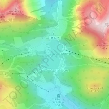
Name: Spitzingsee topographic map, elevation, terrain.
Average elevation: 4,140 ft
Minimum elevation: 3,323 ft
Maximum elevation: 5,581 ft