
Pic d'Ansabère topographic map
Interactive map
Click on the map to display elevation.
About this map
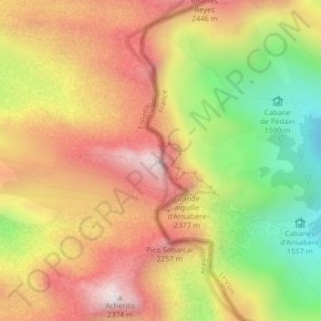
Name: Pic d'Ansabère topographic map, elevation, terrain.
Location: Pic d'Ansabère, Ansó, La Jacetania, Huesca, Aragon, Espagne (42.90292 -0.73265 42.90302 -0.73255)
Average elevation: 6,401 ft
Minimum elevation: 4,856 ft
Maximum elevation: 7,687 ft
Other topographic maps
Click on a map to view its topography, its elevation and its terrain.