
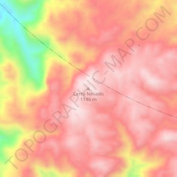
Cerro Nevado topographic map
Interactive map
Click on the map to display elevation.
About this map
Name: Cerro Nevado topographic map, elevation, terrain.
Location: Cerro Nevado, Belgrano, San Luis, Argentinien (-32.93661 -66.88504 -32.93651 -66.88494)
Average elevation: 3,333 ft
Minimum elevation: 2,346 ft
Maximum elevation: 3,734 ft
Other topographic maps
Click on a map to view its topography, its elevation and its terrain.
Juan Martín de Pueyrredón
Juan Martín de Pueyrredón, San Luis, Argentinien
Average elevation: 1,775 ft