
Silsilah-ye Safēd Kōh topographic map
Interactive map
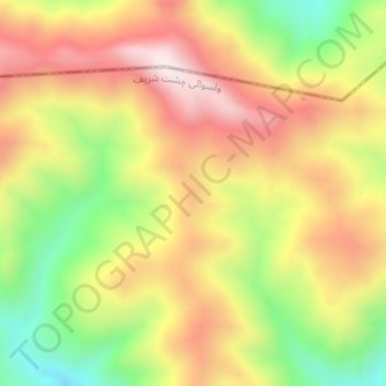
Click on the map to display elevation.
About this map
Name: Silsilah-ye Safēd Kōh topographic map, elevation, terrain.
Location: Silsilah-ye Safēd Kōh, Chishti Sharif, Herat, Afghanistan (34.50668 63.80584 34.50678 63.80594)
Average elevation: 9,803 ft
Minimum elevation: 8,783 ft
Maximum elevation: 10,699 ft
Other topographic maps
Click on a map to view its topography, its elevation and its terrain.