
Flitsch topographic map
Interactive map
Click on the map to display elevation.
About this map
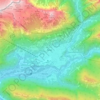
Name: Flitsch topographic map, elevation, terrain.
Location: Flitsch, 5230, Slowenien (46.29855 13.51259 46.37855 13.59259)
Average elevation: 3,143 ft
Minimum elevation: 1,083 ft
Maximum elevation: 7,628 ft
Other topographic maps
Click on a map to view its topography, its elevation and its terrain.