Geolocate

Moorhead topographic map

Click on the map to display elevation.

About this map

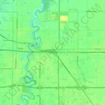
Name: Moorhead topographic map, elevation, terrain.

Location: Moorhead, Clay County, Minnesota, 56563, United States (46.83391 -96.79387 46.91391 -96.71387)

Average elevation: 909 ft

Minimum elevation: 879 ft

Maximum elevation: 938 ft

Clay County trails, hiking, mountain biking, running and outdoor activities

Gear up for your next adventure:

🧭Outdoor Navigation Book - Learn advanced navigation skills
🛰️Handheld GPS Units - Professional satellite navigators for precise backcountry mapping
📻Weather Alert Radios - Stay informed of storm risks while off-the-grid
🔌Solar Panel Charger - Charge gear sustainably outdoors
🥩Freeze-Dried Meals - Nutritious and lightweight food for remote expeditions

As an Amazon Associate, this site earns from qualifying purchases at no extra cost to you.