Geolocate

Samao topographic map

Click on the map to display elevation.

About this map

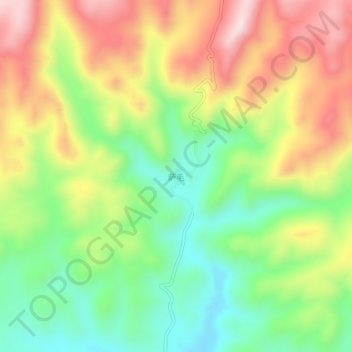
Name: Samao topographic map, elevation, terrain.

Location: Samao, Baingoin County, Nagqu City, Tibet, China (31.18766 89.75623 31.22766 89.79623)

Average elevation: 16,283 ft

Minimum elevation: 15,676 ft

Maximum elevation: 17,031 ft

Gear up for your next adventure:

🔭Telescopic Hiking Pole - Adjustable pole for hiking stability
🍳Camping Cook Set - Complete cookware for outdoor meals
📱Solar Portable Charger - Solar power bank for charging devices off‑grid
🦶Hiking Gaiters - Keep debris and water out of your boots
🧢Outdoor Hiking Hat - Sun protection hat for outdoor explorers

As an Amazon Associate, this site earns from qualifying purchases at no extra cost to you.