
Leith Links topographic map
Click on the map to display elevation.
About this map
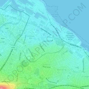
Name: Leith Links topographic map, elevation, terrain.
Average elevation: 49 ft
Minimum elevation: 0 ft
Maximum elevation: 292 ft
Other topographic maps
Click on a map to view its topography, its elevation and its terrain.
Edinburgh
United Kingdom > Scotland > Edinburgh
Some have called Edinburgh the Athens of the North for a variety of reasons. The earliest comparison between the two cities showed that they had a similar topography, with the Castle Rock of Edinburgh performing a similar role to the Athenian Acropolis. Both of them had flatter, fertile agricultural land…
Average elevation: 341 ft
Pentland Hills Regional Park
United Kingdom > Scotland > Edinburgh > Peggyslea
Average elevation: 817 ft