
Gombato topographic map
Interactive map
Click on the map to display elevation.
About this map
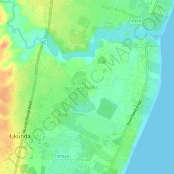
Name: Gombato topographic map, elevation, terrain.
Location: Gombato, Kwale, 80400, Kenya (-4.29006 39.56157 -4.25006 39.60157)
Average elevation: 52 ft
Minimum elevation: -7 ft
Maximum elevation: 148 ft