
Michelau topographic map
Interactive map
Click on the map to display elevation.
About this map
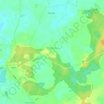
Name: Michelau topographic map, elevation, terrain.
Average elevation: 354 ft
Minimum elevation: 315 ft
Maximum elevation: 413 ft
Other topographic maps
Click on a map to view its topography, its elevation and its terrain.
Saalfeld
Polen > Woiwodschaft Ermland-Masuren > powiat iławski
Saalfeld, Gemeinde Saalfeld, powiat iławski, Woiwodschaft Ermland-Masuren, Polen
Average elevation: 351 ft