
Walnut topographic map
Click on the map to display elevation.
About this map
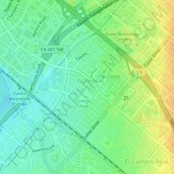
Name: Walnut topographic map, elevation, terrain.
Location: Walnut, Irvine, Orange County, California, United States (33.69356 -117.80378 33.72162 -117.78230)
Average elevation: 92 ft
Minimum elevation: 49 ft
Maximum elevation: 144 ft
Orange County trails, hiking, mountain biking, running and outdoor activities
Other topographic maps
Click on a map to view its topography, its elevation and its terrain.
Orange County Great Park
United States > California > Orange County > Irvine
Average elevation: 282 ft