Geolocate

Edens Landing topographic map

Click on the map to display elevation.

About this map

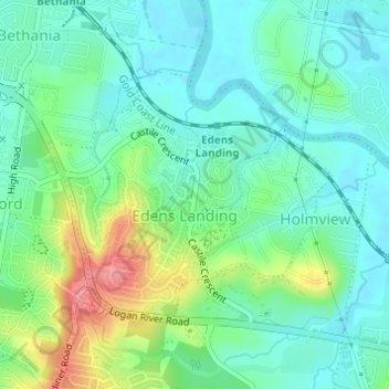
Name: Edens Landing topographic map, elevation, terrain.

Location: Edens Landing, Logan City, Queensland, Australia (-27.71165 153.15763 -27.69416 153.17998)

Average elevation: 89 ft

Minimum elevation: -3 ft

Maximum elevation: 295 ft

Other topographic maps

Click on a map to view its topography, its elevation and its terrain.

Serengetti Park

Australia > Queensland > Logan City

Average elevation: 121 ft

Thornside Park

Australia > Queensland > Logan City

Average elevation: 39 ft

Gear up for your next adventure:

🚗GPS Dash Cams - Record your scenic drives through mountain passes and canyons
👖Convertible Hiking Pants - Versatile zip-off pants for changing altitudes and temperatures
🛠️Backpacking Tool Kit - Essential toolkit for outdoor repairs
🧢Sun Protection Hats - Wide-brimmed and UPF-rated hats for high-altitude sun safety
🪶Wildlife Field Guides - Learn animal tracking and species ID

As an Amazon Associate, this site earns from qualifying purchases at no extra cost to you.