
Thank you for supporting this site ❤️
Make a donation
Make a donation
Gear up for your next adventure:
As an Amazon Associate, this site earns from qualifying purchases at no extra cost to you.
Welt topographic map
Click on the map to display elevation.
Thank you for supporting this site ❤️
Make a donation
Make a donation
Gear up for your next adventure:
As an Amazon Associate, this site earns from qualifying purchases at no extra cost to you.
About this map
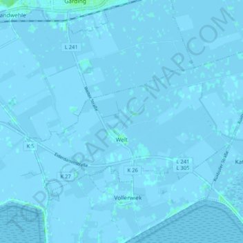
Name: Welt topographic map, elevation, terrain.
Location: Welt, Eiderstedt, Nordfriesland, Schleswig-Holstein, Allemagne (54.29127 8.76448 54.32172 8.84404)
Average elevation: 0 ft
Minimum elevation: -13 ft
Maximum elevation: 16 ft
Thank you for supporting this site ❤️
Make a donation
Make a donation
Gear up for your next adventure:
As an Amazon Associate, this site earns from qualifying purchases at no extra cost to you.