
Thank you for supporting this site ❤️
Make a donation
Make a donation
Gear up for your next adventure:
As an Amazon Associate, this site earns from qualifying purchases at no extra cost to you.
Angar topographic map
Click on the map to display elevation.
Thank you for supporting this site ❤️
Make a donation
Make a donation
Gear up for your next adventure:
As an Amazon Associate, this site earns from qualifying purchases at no extra cost to you.
About this map
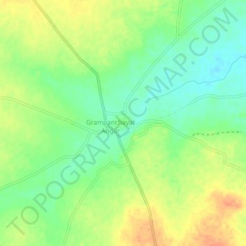
Name: Angar topographic map, elevation, terrain.
Location: Angar, Mohol, Solapur, Maharashtra, 413214, India (17.87796 75.55531 17.91796 75.59531)
Average elevation: 1,565 ft
Minimum elevation: 1,499 ft
Maximum elevation: 1,637 ft
Thank you for supporting this site ❤️
Make a donation
Make a donation
Gear up for your next adventure:
As an Amazon Associate, this site earns from qualifying purchases at no extra cost to you.