
Thank you for supporting this site ❤️
Make a donation
Make a donation
Gear up for your next adventure:
As an Amazon Associate, this site earns from qualifying purchases at no extra cost to you.
Rodriquez topographic map
Click on the map to display elevation.
Thank you for supporting this site ❤️
Make a donation
Make a donation
Gear up for your next adventure:
As an Amazon Associate, this site earns from qualifying purchases at no extra cost to you.
About this map
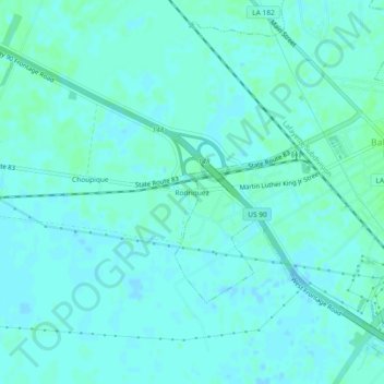
Name: Rodriquez topographic map, elevation, terrain.
Location: Rodriquez, St. Mary Parish, Louisiana, 70514, United States (29.81271 -91.58789 29.85271 -91.54789)
Average elevation: 10 ft
Minimum elevation: -7 ft
Maximum elevation: 23 ft
Thank you for supporting this site ❤️
Make a donation
Make a donation
Gear up for your next adventure:
As an Amazon Associate, this site earns from qualifying purchases at no extra cost to you.