Geolocate

Bhadravati topographic map

Click on the map to display elevation.

About this map

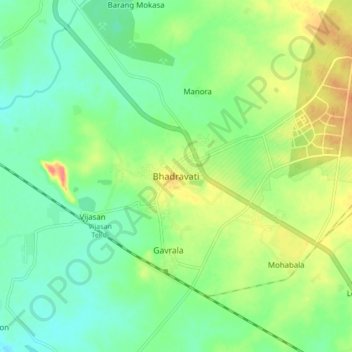
Name: Bhadravati topographic map, elevation, terrain.

Location: Bhadravati, Chandrapur, Maharashtra, India (20.06646 79.07571 20.14646 79.15571)

Average elevation: 666 ft

Minimum elevation: 600 ft

Maximum elevation: 778 ft

Gear up for your next adventure:

🛡️Bear Spray Outdoor - Protection in bear country hikes
Backpacking Tents - Weight-optimized shelters for multi-day topographic surveys
🪶Camp Gear Gift Set - Perfect gift bundle for outdoor fans
📡GPS Antenna Upgrade - Enhance GPS reception in remote terrain
🎒Day Hiking Backpack - Lightweight backpack perfect for day trips and outdoor adventures

As an Amazon Associate, this site earns from qualifying purchases at no extra cost to you.