
Thank you for supporting this site ❤️
Make a donation
Make a donation
Gear up for your next adventure:
As an Amazon Associate, this site earns from qualifying purchases at no extra cost to you.
Hanmer topographic map
Click on the map to display elevation.
Thank you for supporting this site ❤️
Make a donation
Make a donation
Gear up for your next adventure:
As an Amazon Associate, this site earns from qualifying purchases at no extra cost to you.
About this map
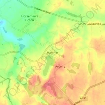
Name: Hanmer topographic map, elevation, terrain.
Location: Hanmer, Wrexham, Wales, SY13 3DE, United Kingdom (52.93228 -2.83284 52.97228 -2.79284)
Average elevation: 276 ft
Minimum elevation: 151 ft
Maximum elevation: 381 ft
Thank you for supporting this site ❤️
Make a donation
Make a donation
Gear up for your next adventure:
As an Amazon Associate, this site earns from qualifying purchases at no extra cost to you.