Geolocate

Carzoá topographic map

Click on the map to display elevation.

About this map
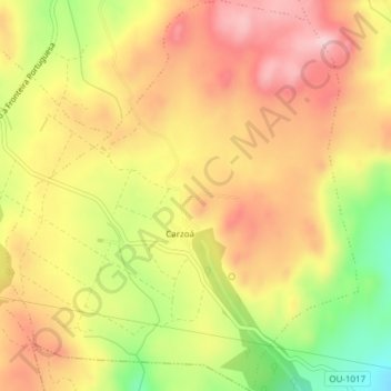
Name: Carzoá topographic map, elevation, terrain.

Location: Carzoá, Cualedro, Verín, Orense, Galicia, 32689, España (41.95319 -7.60178 41.98152 -7.56746)

Average elevation: 2,808 ft

Minimum elevation: 2,388 ft

Maximum elevation: 3,104 ft

Gear up for your next adventure:

📡Handheld GPS Device - Reliable handheld GPS for outdoor navigation
📶Satellite Messenger - Communication device off‑grid
❄️Traction Cleats - Prevent slips on icy trails during winter hikes
🧥Waterproof Jacket for Hiking - Breathable and rugged rain jacket for outdoor excursions
🌎3D Topographic Globes - Raised relief globes for a tactile understanding of geography

As an Amazon Associate, this site earns from qualifying purchases at no extra cost to you.