
Pangsha topographic map
Click on the map to display elevation.
About this map
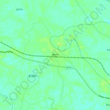
Name: Pangsha topographic map, elevation, terrain.
Location: Pangsha, Rajbari District, Dhaka Division, 7720, Bangladesh (23.74743 89.37664 23.82743 89.45664)
Average elevation: 36 ft
Minimum elevation: 20 ft
Maximum elevation: 49 ft