
Make a donation
Gear up for your next adventure:
As an Amazon Associate, this site earns from qualifying purchases at no extra cost to you.
Pistershausen topographic map
Click on the map to display elevation.
Make a donation
Gear up for your next adventure:
As an Amazon Associate, this site earns from qualifying purchases at no extra cost to you.
Pistershausen
Der Ort ist auf der Topographischen Aufnahme der Rheinlande von 1824 und auf der Preußischen Uraufnahme von 1840 als Pistershausen verzeichnet. Ab der Preußischen Neuaufnahme von 1892 ist er auf Messtischblättern regelmäßig als Pistershausen oder ohne Namen verzeichnet.
Make a donation
Gear up for your next adventure:
As an Amazon Associate, this site earns from qualifying purchases at no extra cost to you.
About this map
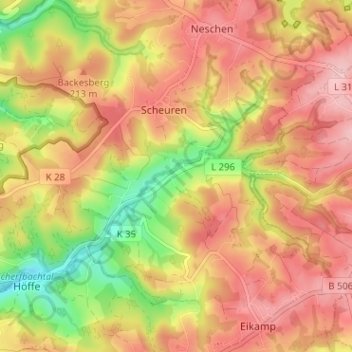
Name: Pistershausen topographic map, elevation, terrain.
Average elevation: 623 ft
Minimum elevation: 308 ft
Maximum elevation: 837 ft
Make a donation
Gear up for your next adventure:
As an Amazon Associate, this site earns from qualifying purchases at no extra cost to you.