Geolocate

Furato topographic map

Click on the map to display elevation.

About this map

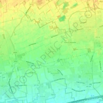
Name: Furato topographic map, elevation, terrain.

Location: Furato, Inveruno, Milano, Lombardia, 20001, Italia (45.49476 8.86053 45.53476 8.90053)

Average elevation: 535 ft

Minimum elevation: 482 ft

Maximum elevation: 587 ft

Gear up for your next adventure:

🎒Gear Packing Cubes - Organize your backpack efficiently
🦶Hiking Gaiters - Keep debris and water out of your boots
📦Dry Bags Set - Waterproof storage for electronics and clothes
🛏️Cold Weather Sleeping Bag - Warm sleeping bag for cold conditions
🏥Hiking First Aid Kits - Comprehensive medical kits for remote trail injuries

As an Amazon Associate, this site earns from qualifying purchases at no extra cost to you.