
Kurar topographic map
Click on the map to display elevation.
About this map
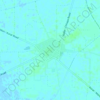
Name: Kurar topographic map, elevation, terrain.
Location: Kurar, Barnala Tahsil, Barnala, Punjab, India (30.52381 75.63736 30.53093 75.64657)
Average elevation: 781 ft
Minimum elevation: 774 ft
Maximum elevation: 791 ft