
Wakkerzeel topographic map
Interactive map
Click on the map to display elevation.
About this map
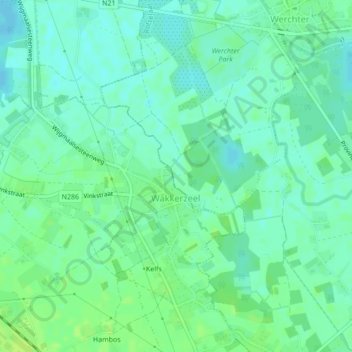
Name: Wakkerzeel topographic map, elevation, terrain.
Location: Wakkerzeel, Haacht, Leuven, Vlaams-Brabant, België (50.95140 4.65488 50.96477 4.68789)
Average elevation: 33 ft
Minimum elevation: 13 ft
Maximum elevation: 52 ft
Wakkerzeel ligt op een hoogte van ongeveer 15 meter. De Dijle loopt ten oosten van Wakkerzeel om ten noorden ervan scherp westwaarts te buigen. Vanuit het oosten vloeit hier de -veel bredere- Demer in de Dijle.
Other topographic maps
Click on a map to view its topography, its elevation and its terrain.
Tildonk
België > Vlaams-Brabant > Leuven > Haacht
Tildonk, Haacht, Leuven, Vlaams-Brabant, België
Average elevation: 46 ft
Wespelaar
België > Vlaams-Brabant > Leuven > Haacht
Wespelaar, Haacht, Leuven, Vlaams-Brabant, Vlaanderen, België
Average elevation: 36 ft