
Retranchement topographic map
Interactive map
Click on the map to display elevation.
About this map
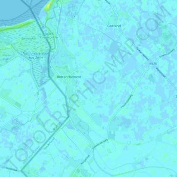
Name: Retranchement topographic map, elevation, terrain.
Location: Retranchement, Sluis, Zeeland, Nederland (51.31273 3.36290 51.37539 3.43496)
Average elevation: 3 ft
Minimum elevation: -7 ft
Maximum elevation: 46 ft
Other topographic maps
Click on a map to view its topography, its elevation and its terrain.