
Ḷḷindes topographic map
Interactive map
Click on the map to display elevation.
About this map
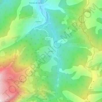
Name: Ḷḷindes topographic map, elevation, terrain.
Location: Ḷḷindes, Quirós, Asturies, 33116, Espagne (43.06498 -5.92402 43.10498 -5.88402)
Average elevation: 3,799 ft
Minimum elevation: 2,428 ft
Maximum elevation: 6,263 ft
Other topographic maps
Click on a map to view its topography, its elevation and its terrain.