Geolocate

Columbus topographic map

Click on the map to display elevation.

About this map

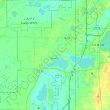
Name: Columbus topographic map, elevation, terrain.

Location: Columbus, Anoka County, Minnesota, United States (45.21066 -93.14270 45.32647 -93.01922)

Average elevation: 906 ft

Minimum elevation: 876 ft

Maximum elevation: 971 ft

Anoka County trails, hiking, mountain biking, running and outdoor activities

Other topographic maps

Click on a map to view its topography, its elevation and its terrain.

Rum River

United States > Minnesota > Anoka County > Anoka

Average elevation: 869 ft

Island Lake

United States > Minnesota > Anoka County > Linwood

Average elevation: 909 ft

Northdale

United States > Minnesota > Anoka County > Coon Rapids

Average elevation: 889 ft

Johnsville

United States > Minnesota > Anoka County > Blaine

Average elevation: 902 ft

Gear up for your next adventure:

📶Satellite Messenger - Communication device off‑grid
🗻Climbing Gear Basics - Essential gear for beginner climbers
🌄Hiking Binoculars - Compact binoculars for scenic views and trail spotting
🥩Freeze-Dried Meals - Nutritious and lightweight food for remote expeditions
🏔️Mountain Trail Maps - High‑detail maps for popular peaks

As an Amazon Associate, this site earns from qualifying purchases at no extra cost to you.