
Teynham topographic map
Click on the map to display elevation.
About this map
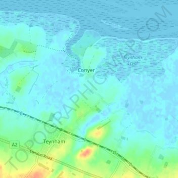
Name: Teynham topographic map, elevation, terrain.
Location: Teynham, Conyer, Borough of Swale, Kent, England, United Kingdom (51.32228 0.78900 51.36301 0.85191)
Average elevation: 20 ft
Minimum elevation: -20 ft
Maximum elevation: 118 ft