Geolocate

Poulsbo topographic map

Click on the map to display elevation.

About this map

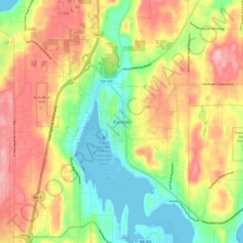
Name: Poulsbo topographic map, elevation, terrain.

Location: Poulsbo, Kitsap County, Washington, 98061, United States (47.69914 -122.67928 47.77914 -122.59928)

Average elevation: 249 ft

Minimum elevation: 0 ft

Maximum elevation: 522 ft

Kitsap County trails, hiking, mountain biking, running and outdoor activities

Gear up for your next adventure:

🎒Gear Packing Cubes - Organize your backpack efficiently
GPS Sports Watch - GPS watch for running, hiking and training
🎒Trail Energy Bars - High‑calorie bars for hiking energy
🧴Hand Sanitizer - Keep hands clean while hiking
🧣Merino Neck Gaiters - Multi-functional headwear for wind and sun protection

As an Amazon Associate, this site earns from qualifying purchases at no extra cost to you.