
Thank you for supporting this site ❤️
Make a donation
Make a donation
Gear up for your next adventure:
As an Amazon Associate, this site earns from qualifying purchases at no extra cost to you.
Pag-asa topographic map
Click on the map to display elevation.
Thank you for supporting this site ❤️
Make a donation
Make a donation
Gear up for your next adventure:
As an Amazon Associate, this site earns from qualifying purchases at no extra cost to you.
About this map
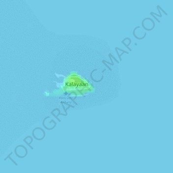
Name: Pag-asa topographic map, elevation, terrain.
Location: Pag-asa, Palawan, Mimaropa, 5322, Philippines (11.03296 114.26747 11.07296 114.30747)
Average elevation: 0 ft
Minimum elevation: 0 ft
Maximum elevation: 26 ft
Thank you for supporting this site ❤️
Make a donation
Make a donation
Gear up for your next adventure:
As an Amazon Associate, this site earns from qualifying purchases at no extra cost to you.