
Dunmere topographic map
Click on the map to display elevation.
About this map
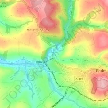
Name: Dunmere topographic map, elevation, terrain.
Location: Dunmere, Bodmin, Cornwall, England, PL31 2RD, United Kingdom (50.45692 -4.77279 50.49692 -4.73279)
Average elevation: 256 ft
Minimum elevation: 26 ft
Maximum elevation: 531 ft