Geolocate

Medjerda topographic map

Interactive map

Click on the map to display elevation.

About this map

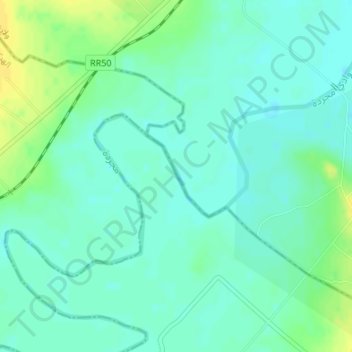
Name: Medjerda topographic map, elevation, terrain.

Location: Medjerda, Borj Ettoumi, El Battane, La Manouba, Tunisie (36.73297 9.70837 36.73924 9.71601)

Average elevation: 154 ft

Minimum elevation: 128 ft

Maximum elevation: 197 ft

Other topographic maps

Click on a map to view its topography, its elevation and its terrain.

Mornaguia

Tunisie > La Manouba

Mornaguia, La Manouba, Tunisie

Average elevation: 289 ft

Manouba‬‬

Tunisie > La Manouba

Manouba‬‬, La Manouba, Tunisie

Average elevation: 157 ft

Douar Hicher

Tunisie > La Manouba

Douar Hicher, La Manouba, Tunisie

Average elevation: 256 ft

Tebourba

Tunisie > La Manouba

Tebourba, La Manouba, 1130, Tunisie

Average elevation: 443 ft

Borj El Amri

Tunisie > La Manouba

Borj El Amri, La Manouba, Tunisie

Average elevation: 371 ft

Oued Ellil

Tunisie > La Manouba

Oued Ellil, La Manouba, 2021, Tunisie

Average elevation: 236 ft