Geolocate

Magnolia topographic map

Click on the map to display elevation.

About this map

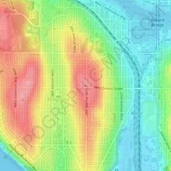
Name: Magnolia topographic map, elevation, terrain.

Location: Magnolia, Seattle, King County, Washington, 98199, USA (47.64889 -122.39317 47.64899 -122.39307)

Average elevation: 171 ft

Minimum elevation: 0 ft

Maximum elevation: 384 ft

Other topographic maps

Click on a map to view its topography, its elevation and its terrain.

Lake Union Park

USA > Washington > Seattle

Average elevation: 174 ft

Gear up for your next adventure:

🪶LED Camping Lantern - Bright lantern for camp lighting
🧯Emergency Survival Kit - All‑in‑one survival essentials for the backcountry
🧭Hiking Compass - Precision compass for reliable navigation in the wilderness
🌡️Handheld Weather Meters - Measure wind, temp, and pressure for safe mountain travel
📖Nature Tracking Books - Learn to track wildlife and terrain

As an Amazon Associate, this site earns from qualifying purchases at no extra cost to you.