Geolocate

Thesoajur topographic map

Click on the map to display elevation.

About this map
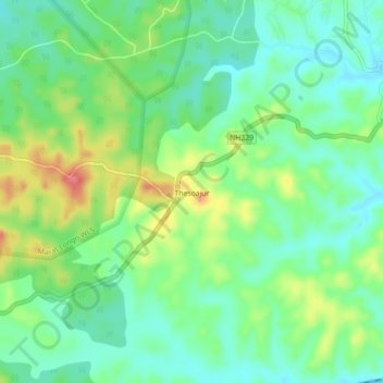
Name: Thesoajur topographic map, elevation, terrain.

Location: Thesoajur, Diphu, Karbi Anglong, Assam, 782460, India (25.80634 93.37774 25.84634 93.41774)

Average elevation: 682 ft

Minimum elevation: 591 ft

Maximum elevation: 853 ft

Gear up for your next adventure:

🗻Climbing Gear Basics - Essential gear for beginner climbers
📦Dry Bags Set - Waterproof storage for electronics and clothes
🌄Hiking Binoculars - Compact binoculars for scenic views and trail spotting
🧢Sun Protection Hats - Wide-brimmed and UPF-rated hats for high-altitude sun safety
🔪Outdoor Multitools - Essential survival tools for gear repair and field use

As an Amazon Associate, this site earns from qualifying purchases at no extra cost to you.