Geolocate

Guillemin topographic map

Click on the map to display elevation.

About this map
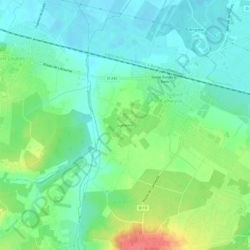
Name: Guillemin topographic map, elevation, terrain.

Location: Guillemin, Saint-Sulpice-et-Cameyrac, Bordeaux, Gironde, Nouvelle-Aquitaine, France métropolitaine, 33450, France (44.88578 -0.42078 44.92578 -0.38078)

Average elevation: 69 ft

Minimum elevation: -3 ft

Maximum elevation: 217 ft

Other topographic maps

Click on a map to view its topography, its elevation and its terrain.

Gear up for your next adventure:

😴Insulated Sleeping Pads - Compact and warm pads for high-elevation camping
🪶Wildlife Field Guides - Learn animal tracking and species ID
🪶Survival Guide Book - Expert advice for emergency preparedness
🦶Hiking Gaiters - Keep debris and water out of your boots
🔦LED Headlamp - Bright and durable LED headlamp for night navigation

As an Amazon Associate, this site earns from qualifying purchases at no extra cost to you.