
Lac Lovering topographic map
Click on the map to display elevation.
About this map
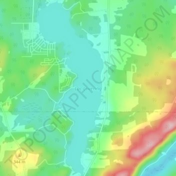
Name: Lac Lovering topographic map, elevation, terrain.
Location: Lac Lovering, Magog, Memphrémagog, Estrie, Québec, Canada (45.14180 -72.17284 45.19418 -72.14448)
Average elevation: 919 ft
Minimum elevation: 735 ft
Maximum elevation: 1,378 ft
Other topographic maps
Click on a map to view its topography, its elevation and its terrain.