
Al Baairat Village topographic map
Interactive map
Click on the map to display elevation.
About this map
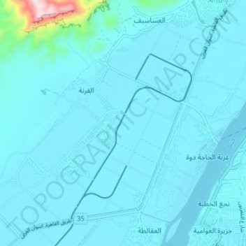
Name: Al Baairat Village topographic map, elevation, terrain.
Location: Al Baairat Village, Luxor, 85958, Egypt (25.68279 32.57402 25.73484 32.63885)
Average elevation: 312 ft
Minimum elevation: 220 ft
Maximum elevation: 1,575 ft