
Englewood topographic map
Click on the map to display elevation.
About this map
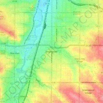
Name: Englewood topographic map, elevation, terrain.
Location: Englewood, Arapahoe County, Colorado, 80110, United States (39.60821 -105.02796 39.68821 -104.94796)
Average elevation: 5,387 ft
Minimum elevation: 5,243 ft
Maximum elevation: 5,564 ft
Arapahoe County trails, hiking, mountain biking, running and outdoor activities