Geolocate

Geneva topographic map

Click on the map to display elevation.

About this map

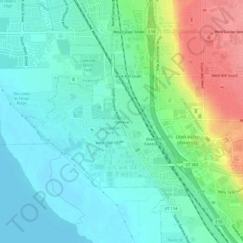
Name: Geneva topographic map, elevation, terrain.

Location: Geneva, Orem, Utah County, Utah, 84058, United States (40.26232 -111.75207 40.30232 -111.71207)

Average elevation: 4,564 ft

Minimum elevation: 4,485 ft

Maximum elevation: 4,764 ft

Utah County trails, hiking, mountain biking, running and outdoor activities

Gear up for your next adventure:

🔋Rechargeable Batteries - Power up your outdoor devices
🔥Plasma Lighters - Windproof lighters that work in any weather condition
🖼️Topo Map Wall Art - Decorative topographic prints of famous peaks and regions
📌Outdoor GPS Map App - Apps and devices for digital topographic navigation
🛰️Satellite Messengers - Emergency SOS and two-way messaging for off-grid adventures

As an Amazon Associate, this site earns from qualifying purchases at no extra cost to you.